Printable blank map of Central America and the Caribbean
From Belize to Panama, and every Caribbean island.
Examples temporarily replace the input and settings. You can restore your previous work.
Pro keeps the settings you use every week and puts them one click away. See Pro
Preview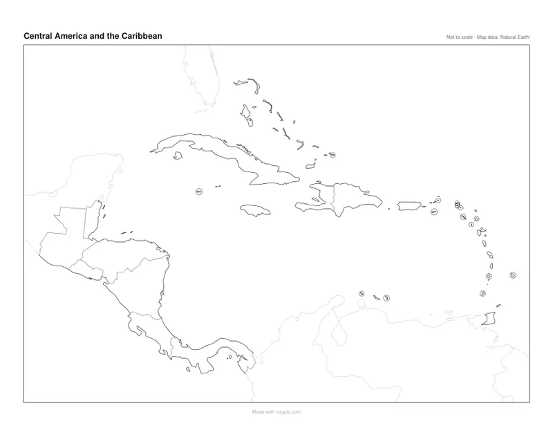
Free PDFs end with a small “Made with nouplo.com” line Remove limits with Pro
Save to PinterestYour files stay on your device
This tool runs entirely in your browser. Nothing is uploaded, nothing is stored, and you can even turn off your internet connection before you start.
Example
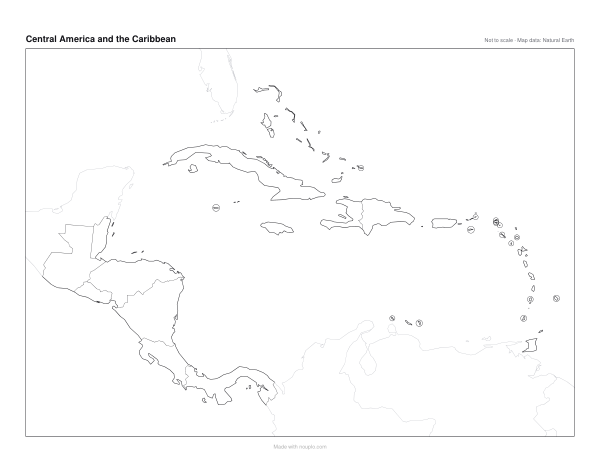
Worked example — Blank map of Central America and the Caribbean
Use the following inputs and settings. Keep other settings at the page defaults.
| Item | Value |
|---|---|
| Map | Central America and the Caribbean |
| Print size | 1 page |
| Output files | 1 |
| PDF pages | 1 |
| 279 × 216 mm |
Expected result — PDF · PDF pages: 1. The image shows the first PDF page.
How it works
- Pick a style: blank with borders for a quiz, coastline only for drawing, or with country names in your language.
- Choose the paper — A3 gives room to more names — and add lines of latitude and longitude if you want them.
- Press Make PDF and print; the lines are vector, so they stay sharp at any size.
Frequently asked questions
- Which countries are on it?
- The seven of Central America — Belize, Guatemala, Honduras, El Salvador, Nicaragua, Costa Rica and Panama — and the Caribbean: Cuba, Jamaica, Haiti, the Dominican Republic, the Bahamas and the island states of the Lesser Antilles.
- Are the territories shown?
- Yes, as places of their own: Puerto Rico, the Virgin Islands, Guadeloupe, Martinique, Aruba, Curaçao and the other islands, each ringed where it is too small to see.
- What is drawn in grey?
- Mexico, Colombia and Venezuela, at the edges, are drawn pale, so the map keeps to the region.
- Is anything uploaded?
- No. The map is made in your browser. On the free plan a small line with our name is printed at the foot of the sheet.
Made for a specific use
- Blank map of Europe
- Blank map of Africa
- Blank map of Asia
- Blank map of North America
- Blank map of South America
- Map of Europe with capitals
- Map of Africa with capitals
- Map of South America with capitals
- Map of Asia with capitals
- Capitals map worksheet
- World map with latitude and longitude
- Large printable world map
- Blank map of Oceania
- Blank map of the Middle East
- Map of the Middle East with capitals
- Map of Central America and the Caribbean with capitals
Related tools
⊙ Printable blank map Outline maps of the world and every continent, ready to print. ⊙ Map of Central America and the Caribbean with capitals Every capital from Belmopan to Port of Spain. ⊙ Blank map of North America Canada to Panama and the Caribbean, outlined. ⊙ Blank map of Mexico The thirty-two states of Mexico, ready to label.