Continents and oceans worksheet
Numbered on the map, names to write, answers on page two.
Examples temporarily replace the input and settings. You can restore your previous work.
Pro keeps the settings you use every week and puts them one click away. See Pro
Preview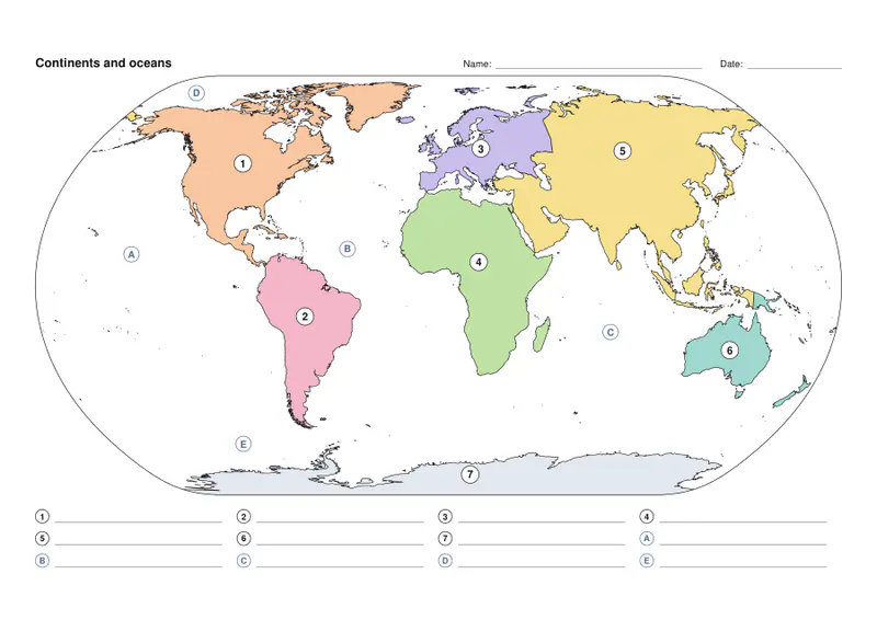
Free PDFs end with a small “Made with nouplo.com” line Remove limits with Pro
Save to PinterestYour files stay on your device
This tool runs entirely in your browser. Nothing is uploaded, nothing is stored, and you can even turn off your internet connection before you start.
Example
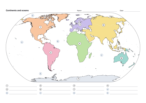
Worked example — Continents and oceans worksheet
Use the following inputs and settings. Keep other settings at the page defaults.
| Item | Value |
|---|---|
| Labels | Numbers to fill in (worksheet + answers) |
| Print size | 1 page |
| Output files | 1 |
| PDF pages | 2 |
| 297 × 210 mm |
Expected result — PDF · PDF pages: 2. The image shows the first PDF page.
How it works
- Choose seven continents or six, and whether the oceans are on the sheet too.
- Choose colour, grey or outline — outline lets children colour the continents as well.
- Press Make PDF: page one is the worksheet, page two the answers.
Frequently asked questions
- What do pupils do?
- Each continent has a number and each ocean a letter; they write the matching names on the lines below the map.
- Is there an answer key?
- Yes, on the second page: the same map with the names and the list filled in.
- Can I make it harder?
- Choose outline only and no colour, so the shapes are the only clue, or add country borders.
- Is anything uploaded?
- No. The PDF is made in your browser.
Related tools
⊙ Continents and oceans map The seven continents and five oceans, ready to print. ⊙ Printable blank map Outline maps of the world and every continent, ready to print. ⊙ Map quiz Find every country on the map — how fast can you go? ⚐ Printable flags of the world Every country’s flag, with its name, ready to print.